
Flood Watch Issued for Parts of Alabama Amid Heavy Rainfall Alert
On Wednesday afternoon, West Alabama will see the arrival of showers and thunderstorms, bringing with them substantial rainfall. This weather system is expected to move gradually eastward, persisting into Wednesday night.
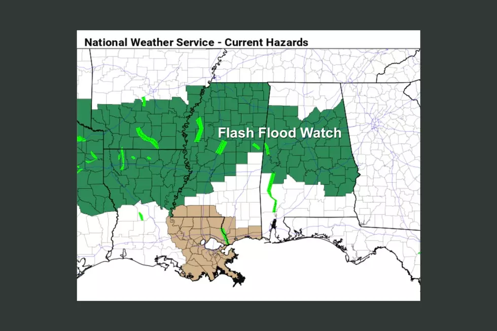
The National Weather Service in Birmingham has issued a “Flood Watch” that will go into effect from Wednesday, April 10 at Noon until Thursday, April 11 at 7 a.m.
Rainfall amounts of 3 to 5 inches with locally higher amounts are expected.
Alabamians should stay aware because excessive rainfall is possible, and that could lead to flash flooding.
This “Flood Watch” covers a large section of Alabama, including the Townsquare Media Coverage area, which includes the Bibb, Fayette, Greene, Hale, Lamar, Perry, Pickens, Sumter, Tuscaloosa, and Walker counties.
The impacts of the “excessive runoff may result in flooding of rivers, creeks, streams, and other low-lying and flood-prone locations,” said the National Weather Service in Birmingham.

PRECAUTIONARY & PREPAREDNESS ACTIONS
You should monitor later forecasts and be prepared to take action should Flash Flood Warnings be issued.
NWS 2024 Severe Weather Preparedness Guide
Gallery Credit: Mary K
Severe Weather Terminology You Should Know
Ways to Receive Severe Weather Information
Reasons Why Alabama’s Spring Season Is Unpredictable
Gallery Credit: Mary K
Things To Have Before It Rains
More From 105.1 The Block